The Palestine Exploration Fund (PEF)
The British have a rich history of mapping the Holy Land, from the first half of the nineteenth century onwards.
Modern cartographic work in Palestine received unprecedented stimulus by the foundation of the Palestine exploration Fund (PEF), an unofficial body which promoted the scientific research of the Holy Land and Middle East, including its Geography, Archaeology, Geology, Hydrology, Fauna & Flora.
Four cartographic major projects became the foundation for the modern mapping.
The first, Ordnance Survey of Jerusalem and Excavations in Jerusalem, the second The Survey of Western Palestine, a systematic topographic mapping of the entire country and the recording of its ancient remains, including 8 volumes of a Memoirs, the third, The Survey of Eastern Palestine (unconcluded) and the fourth, Ordnance Survey of the Peninsula of Sinai.
The Royal engineer’s team of the Palestine Exploration Fund, were well trained on the use of new surveying methods of cartography and innovative technologies at that time, as photography, for scientific recording. The result was an extraordinary collection of data that remains to this day the basis of modern cartography of Israel.
- The Survey of Western Palestine: Memoirs of the Topography, Orography, Hydrography, and Archaeology. Vol I, Sheets I-IV, Galilee.
Authors: C. Conder, H. Kitchener, E. Palmer, W. Besant. - The Survey of Western Palestine: Memoirs of the Topography, Orography, Hydrography, and Archaeology. Vol II, Sheets VII-XVI, Samaria.
Authors: C. Conder, H. Kitchener, E. Palmer, W. Besant. - The Survey of Western Palestine: Memoirs of the Topography, Orography, Hydrography, and Archaeology. Vol III, Sheets XVII-XXVI, Judaea.
Authors: C. Conder, H. Kitchener, E. Palmer, W. Besant. - The Survey of Western Palestine. Special Papers on Topography, Archaeology, Manners and Customs, etc.
Authors: C. Conder, Charles Wilson, H. Kitchener, E. Palmer,G.Simth, Rev.Greville-Chester, Clermont-Ganneau - The Survey of Western Palestine: Arabic and English name lists collected during the survey
Authors: C. Conder, H. Kitchener, E. Palmer. - The Survey of Western Palestine, Memoir on the Physical Geology, and Geography
Arabia, Petraea, Palestine, and Adjoining Districts
Author: E. Hull - The Survey of Eastern Palestine. Memoirs of the Topography, Orography, Hydrography, Archaeology, etc. v.1–The ‘Adwân country
Author: Claude Reignier Conder
- Maps of Western Palestine in 26 Sheets
Authors: The Committee of the Palestine Exploration Fund - Plans, Elevations, Sections, Shewing the Results of the Excavations at Jerusalem 1867-1870.
The Committee of The Palestine Exploration Fund - Ordnance Survey of the Peninsula of Sinai, Maps, 1869
Authors: C. Wilson & H. Palmer - Ordnance Survey of the Peninsula of Sinai Made in 1868-9 [With Extensive Contemporary Annotations]
- Ordnance Survey of the Peninsula of Sinai [ Cartographic Material_map 1]
- Ordnance Survey of the Peninsula of Sinai [Cartographic Material_map 2]
- The PEF and its Photographic collection
Author: David Jacobson - Photographs of the Ordnance Survey of Jerusalem, 1865
Author: Charles W. Wilson
The Committee of The Palestine Exploration Fund - Ordnance Survey of Sinai, Photographs 1869
Authors: C. Wilson & E. Palmer
Photographer: James McDonald

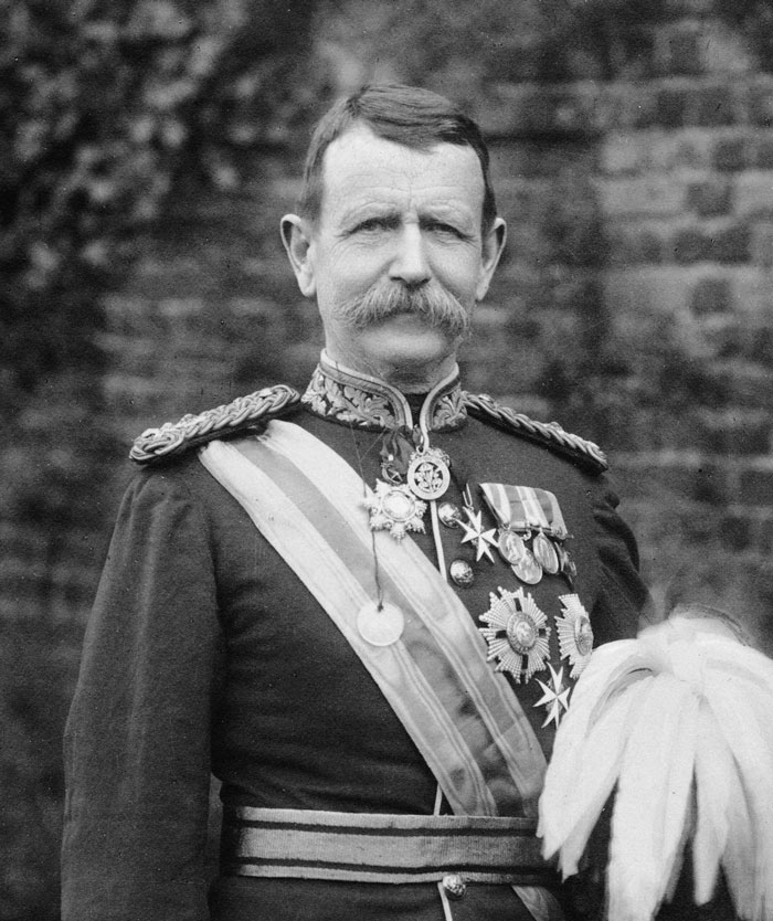
Sir Wilson Charles
1836-1905

Sir Warren Charles
1840-1927

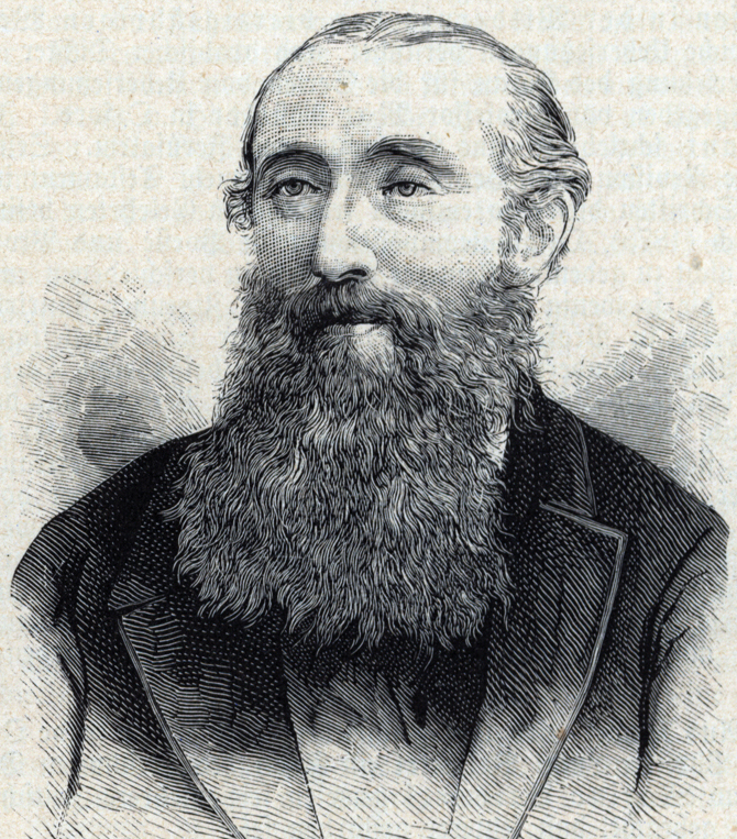
Palmer Edward Henry
1840-1882

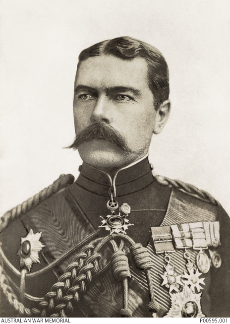
Lord Kitchener Horatio Herbert
1850-1916

Conder Claude Reigner
1848-1910


 Webtopus בניית אתרים