
Sir Wilson Charles
1836-1905

Sir Warren Charles
1840-1927
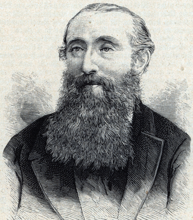
Palmer Edward Henry
1840-1882
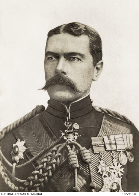
Lord Kitchener Horatio Herbert
1850-1916

Conder Claude Reigner
1848-1910
1836-1905
1840-1927
1840-1882
1850-1916
1848-1910
 Webtopus בניית אתרים